Des Moines, Iowa: Area Description
Des Moines is the largest city and metropolitan area in Iowa as well as its capital since 1857. The city is located in the fertile Corn Belt that is encompassed by coal fields in Central Iowa, where the Raccoon River meets the Des Moines River, which feeds the Mississippi River.
It is 90.65 square miles in size, and the area is made up of 98% water and 1.9% water. From 2009, the city incorporated 14.9 miles in the north, south, east, and west regions. Des Moines is made up of 13 cities. They include Windsor Heights, Urbandale, Clive, Johnston, Carlisle, West Des Moines, and Ankeny cities.
The metropolitan area is made up of six counties; Jasper, Madison, Dallas, Guthrie, Polk, and Warren. Jasper is the biggest county with an area of 733 square miles, followed by Dallas and Polk, which are equal in size with an area of 592 square miles.
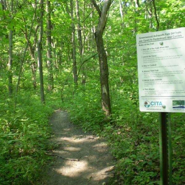
There are several parks that preserve wildlife and natural resources, and they have to Adopt Trail programs to help with cleanup.
| Land area (sq. mi; sq. km) |
90.70 sq mi (234.92 km2) |
| Minimum Elevation |
955 ft (291 m) |
| Maximum Elevation |
955 ft (291 m) |
Demographics of Des Moines
Des Moines has a population of 215,408, according to the last census, with a 92% rate of citizenship. The largest ethnic groups are 73.32% White, 11.39% African American, and 6.49% Asian. The most common places of birth for foreign-born residents, who make up 12.9% of the total population, are Mexico, India, and China.
Did you know that Iowa has a 91% graduation rate, which is the highest in the United States? In Des Moines, 86.69% of residents who are 25 or older have earned a high school diploma or higher.
Gender enrolment in universities is 61% for women and 39% for men, and the median earning is $40,978 for men and $32,320 for women.
The top domestic production products are machinery, mixed freight, seafood, and meat, and the domestic trade has grown to 262 billion dollars, with Illinois, Minnesota, and Texas as the leading trade partners.
59.6% of the residents are homeowners, and the median household income is $54,843. There is an average of 2 cars for every household, and 78.6% of the population drives to work. 19.1 minutes is the average commute time.
| Total population |
214,133 |
| Population density (persons per sq. km) |
2,428.39/sq mi (937.60/km2) |
Climate of Des Moines
The summers in Des Moines are hot, wet, and humid, and the warm season is from May to September, with temperatures ranging from 70s to 90s. July averages a nighttime low of 68°F and a high of 86°F. The temperature of Des Moines summers is similar to that of Wisconsin and Michigan.
Spring features afternoon thunderstorms, high humidity, and heavy rain, but Fall has favorable temperatures, and it is the best time to visit Center Grove Orchard and pick strawberries and apples.
The winters are dry, cold, cloudy, and windy, and the cool season is from November to March. The winters can be moderate or freezing, and it is common to have snowfall and temperatures dropping below 0°F. January is the coldest month.
The average annual snowfall is 33 inches, and rainfall is 36 inches.
Average Temperature by Months
| Month |
Temperature |
| January |
24°F |
| February |
28°F |
| March |
40°F |
| April |
52°F |
| May |
63°F |
| June |
72°F |
| July |
76°F |
| August |
74°F |
| September |
66°F |
| October |
53°F |
| November |
40°F |
| December |
27°F |
Infrastructure
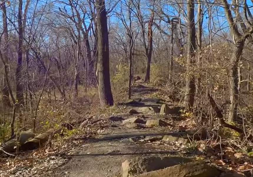
Des Moines is the transportation hub of Iowa owing to its size and designation as the capital of the state. Des Moines International Airport is the main airport for passengers and cargo. It is near the Grandview Park bike trail, which has a dirt surface similar to Water Works Park trail, and the difficulty level is beginner to intermediate.
The main interstate highway that serves the city is 1-235, which passes through the metropolitan area. There are also I-35 and I-80 interstate highways and highways such as US 6, US 65, Iowa 5, Iowa 28, US 69, Iowa 46, and Iowa 163.
In addition to freeways and parkways, Des Moines has more than 18 major roads and streets that connect the neighborhoods and cities. They include 63rd Street, University Avenue, Hickman Road, Vandalia Road, Hubbell Avenue, Douglas Avenue, and Merle Hay Road.
Des Moines Area Regional Transit Authority (DART) is the main transit system, and it will offer free rides in May for passengers who will board with bikes.
The Link and D-Line offer free shuttle services, and the rail system includes Union Pacific Railroad and Iowa Interstate Railroad. There is also a 4.2-mile skywalk to ease access to buildings.
At the Port of Des Moines, which is located in Polk County, the main operating vessels are pleasure crafts, followed by sailing vessels.
Sights and Landmarks in Des Moines
Des Moines is dotted with parks, museums, state fairgrounds, farmer’s markets, gorgeous gardens, zoos, historic structures, and amazing bike trails for all levels. You will also get a great view of the Raccoon and Des Moines rivers and lakes, such as Colchester and Easter.
Other major destination spots include:
- Greater Des Moines Botanical Garden
- The Jordan House
- Des Moines Art Center
- Terrace Hill
- Downtown Farmer's Market
- Blank Park Zoo
- Iowa Speedway
- Salisbury House & Gardens
FAQ about Trails in Des Moines
Which bike trails in Central Iowa are suitable for beginners?
Top Shelf bike trail in Des Moines is moderately easy with short and steep descents. It is a singletrack with a two-way section as you ride under the Beaver Avenue Bridge. It is connected to the longer Sycamore trail, a combined track that includes paved segments as well as singletrack and doubletrack trails. It also has some rolling plains, but the terrain is mostly flat, so new riders will find it manageable.
Which is the most difficult Des Moines mountain bike trail?
According to many reviews by mountain bikers, the Banners Lake trail system is grueling, with some hilly terrains, tight corners, and sharp climbs and descents that limit flow on the Coal Miner's Daughter, Corner Pocket, and Extra Credit. However, there are also sections, such as Riverside, where you can speed smoothly on a flatter surface. The trail includes un-railed bridges and loose rocks.
Are there bike trails near the Blanden Memorial Art Museum in Des Moines?
There are several tracks you can explore within minutes. They include Loomis Park Loop along the Des Moines River and Phinney Trail Loop. Lizard Creek also has three trails that range from easy to moderate.

 1.6 mi
